search
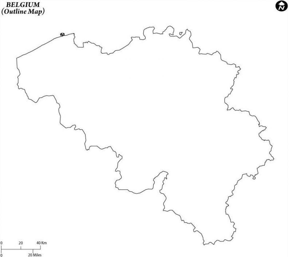
Belgium blank map
Blank map of Belgium. Belgium blank map (Western Europe - Europe) to print. Belgium blank map (Western Europe - Europe) to download. The blank outline map above represents Belgium, a Western European Nation. Situated in northwestern Europe, Belgium has an area of 30,510 sq km (11,780 sq mi) and extends 280 km (174 mi) South East – North West and 222 km (137 mi) North East – South West . Comparatively, the area occupied by Belgium is about the same size as the state of Maryland. Belgium borders on the Netherlands to the North , Germany and Luxembourg to the East , France to the South and South West , and the North Sea to the North West, with a total boundary length of 1,385 km (859 mi).
The above blank map of Belgium can be downloaded, printed and used for educational purpose like coloring and map-pointing activities. Belgium crossroads of Western Europe; majority of West European capitals within 1,000 km of Brussels which is the seat of both the EU and NATO. Its longest Distances is 280 km SE-NW/ 222 km NE-SW. While its total land borders is 1,482 km (859 miles).


