search
Belgium map outline
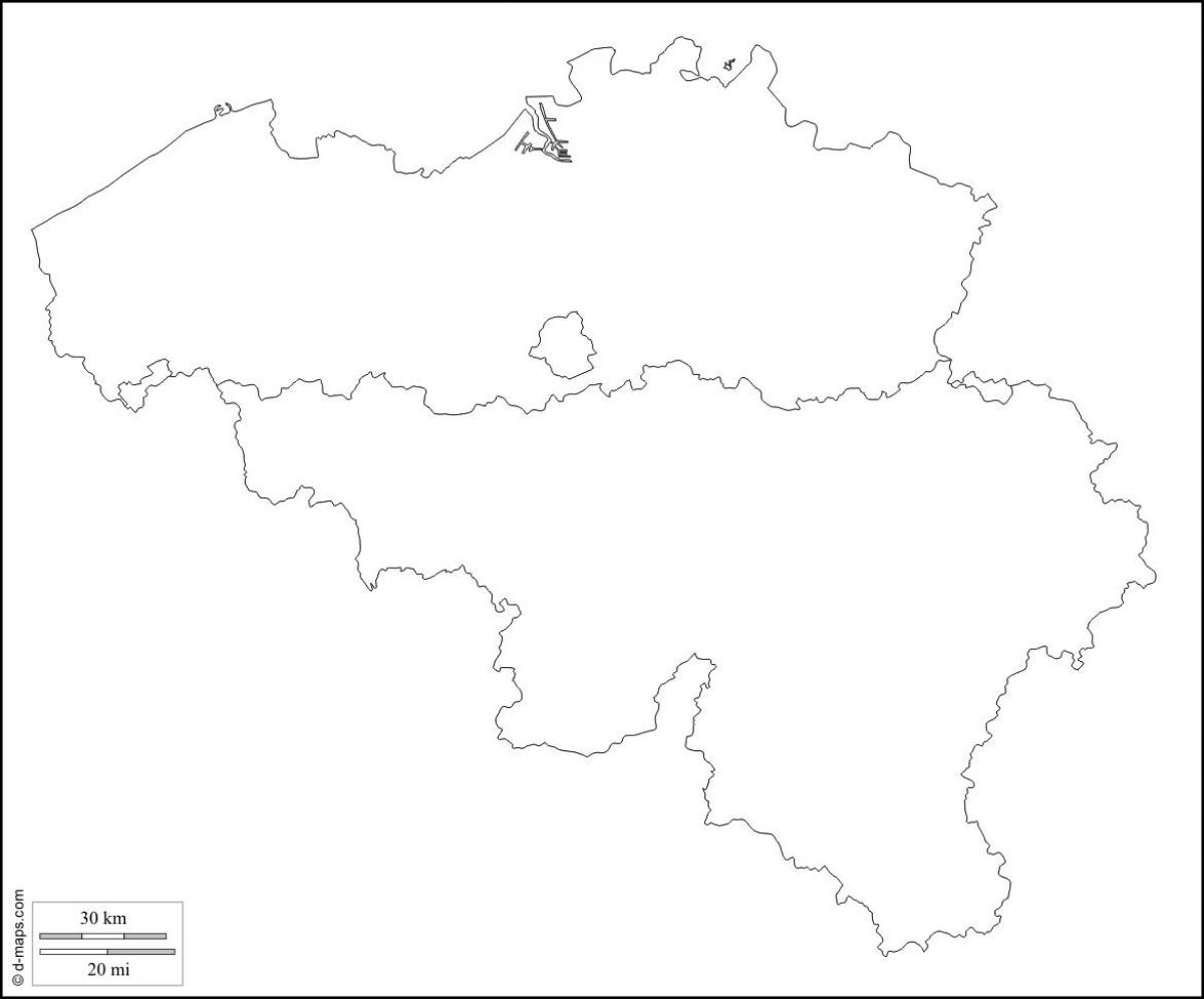
Map of Belgium outline. Belgium map outline (Western Europe - Europe) to print. Belgium map outline (Western Europe - Europe) to download. Belgium has an area of 30,528 square kilometres, with 16,844 square kilometres for Wallonia, 13,522 square kilometres for Flanders and 161 square kilometres for the Brussels Capital Region. By provinces, the area is distributed as such: Luxembourg: 4,440 km², Liège: 3,862 km², Hainaut: 3,786 km², Namur: 3,666 km², West Flanders: 3,144 km², East Flanders: 2,982 km², Antwerp: 2,867 km², Limburg: 2,422 km², Flemish Brabant: 2,106 km², Walloon Brabant: 1,091 km² as its shown in Belgium map outline.
To get the total area of Belgium, the surface of the Brussels-Capital Region should be added to the list, since Brussels is not in any Belgian province anymore since the province of Brabant has been split. Belgium has also 3,462 square kilometres of sea territories in the North Sea as its mentioned in Belgium map outline. On 29 May 2000, 2,000 square metres were granted by the Netherlands to Belgium (a piece of land in Zelzate along the Ghent-Terneuzen Canal). Compared to other countries, Belgium is 1.5 times larger than Wales in the United Kingdom and about the size of Maryland in the United States. Belgium is actually used as an unusual unit of measurement in comparing country sizes.
Belgium (officially, the Kingdom of Belgium) is a federal state divided into three regions. These are Flemish Regions/Flanders, Wallonia/Walloon Region and the Brussels Capital Region. The former two are subdivided into 5 provinces while the latter is remains undivided. The regions are further subdivided into 43 administrative arrondissements and then into municipalities. With an area of 30,689 sq. km, and a population of 11.5 million residents as you can see in Belgium map outline, Belgium is the 6th most densely populated nation in Europe and the 22nd most densely populated country in the world. Located in the north-central part of the country is, Brussels – the capital, the largest and the most populous city of Belgium. It is also the de-facto capital of EU. Brussels is the administrative, financial and economic center of Belgium.


