search
Belgium river map
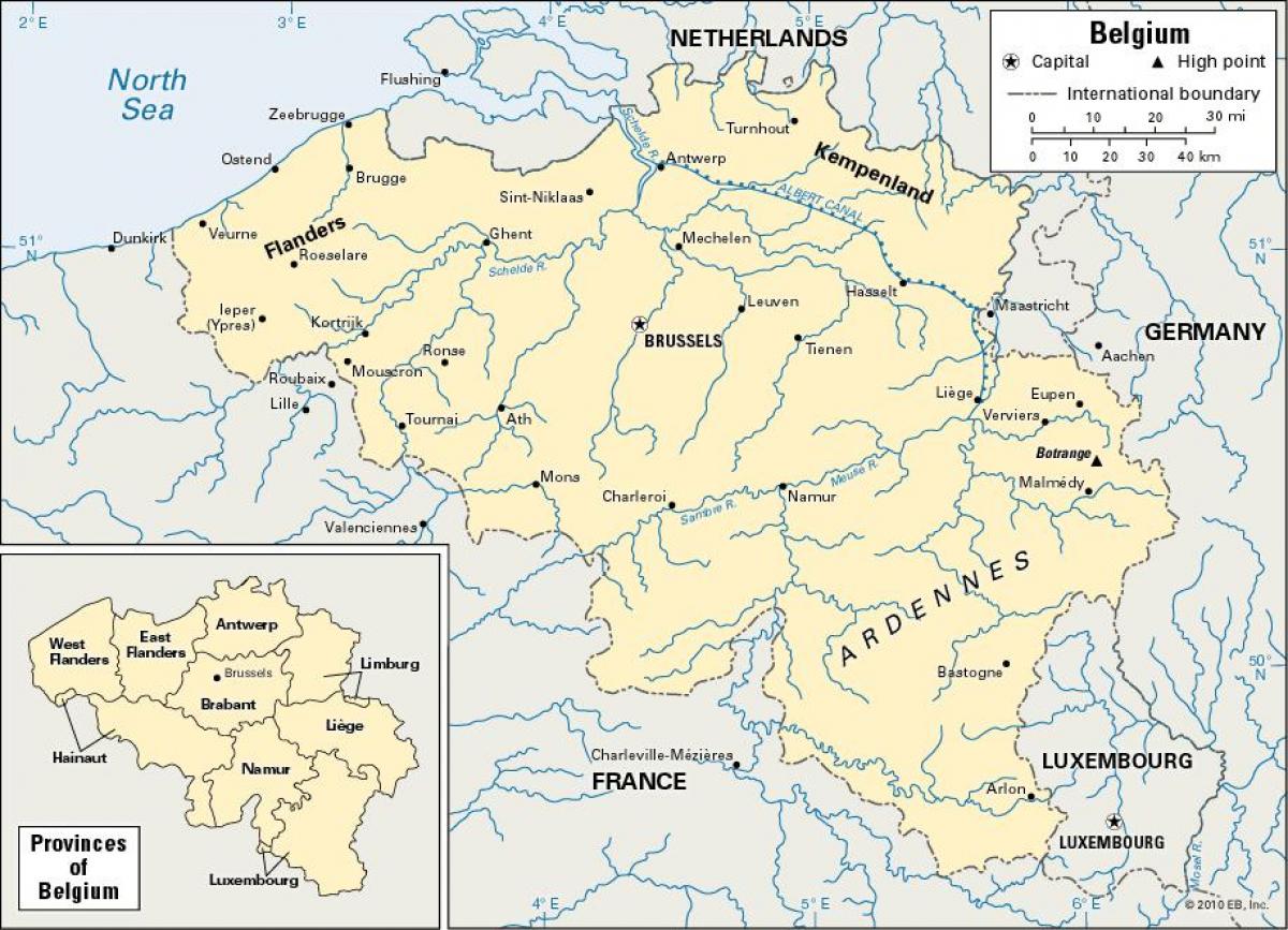
Map of Belgium river. Belgium river map (Western Europe - Europe) to print. Belgium river map (Western Europe - Europe) to download. All of Belgium is drained into the North Sea, except the municipality of Momignies (Macquenoise), which is drained by the Oise river into the English Channel. A total of 3 streams cross Belgium: the Scheldt (200 km in Belgium, 350 km in total), the Meuse (183 km in Belgium, 925 km in total) and the Yser (50 km in Belgium, 78 km in total) as its shown in Belgium river map. The main rivers in Belgium include the Rupel, Senne, Sambre, Lesse, Ourthe, Lys and Dijle. The main lakes include the Lake Genval, Lake Bütgenbach, Lake Eau d'Heure and Lake Robertville.
Schelde River, also spelled Scheldt, French Escaut, river, 270 miles (435 km) long, that rises in northern France and flows across Belgium to its North Sea outlet in Dutch territory as its mentioned in Belgium river map. Along with the Lower Rhine and the Meuse rivers, it drains one of the world’s most densely populated areas. Meuse River, Latin Mosa, Flemish Maes, Dutch Maas, river, rising at Pouilly on the Langres Plateau in France and flowing generally northward for 590 miles (950 km) through Belgium and the Netherlands to the North Sea. In the French part, the river has cut a steep-sided, sometimes deep valley between Saint-Mihiel and Verdun, and beyond Charleville-Mézières it meanders through the Ardennes region in a narrow valley.


